


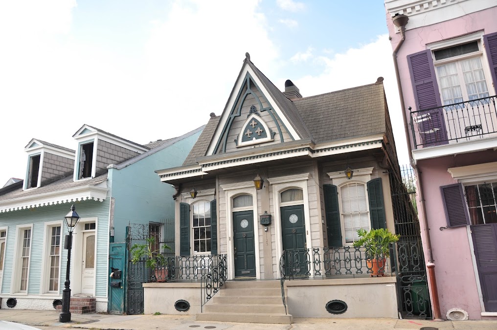


Bourbon Street – New Year’s Eve:
Monday, March 14, 2016
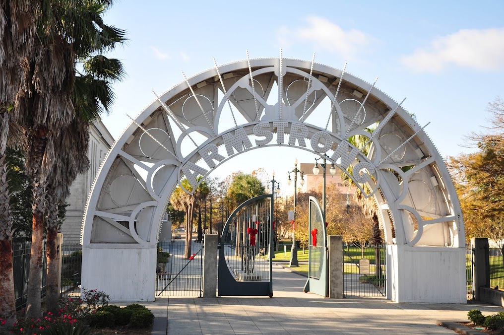
Sunday, February 28, 2016
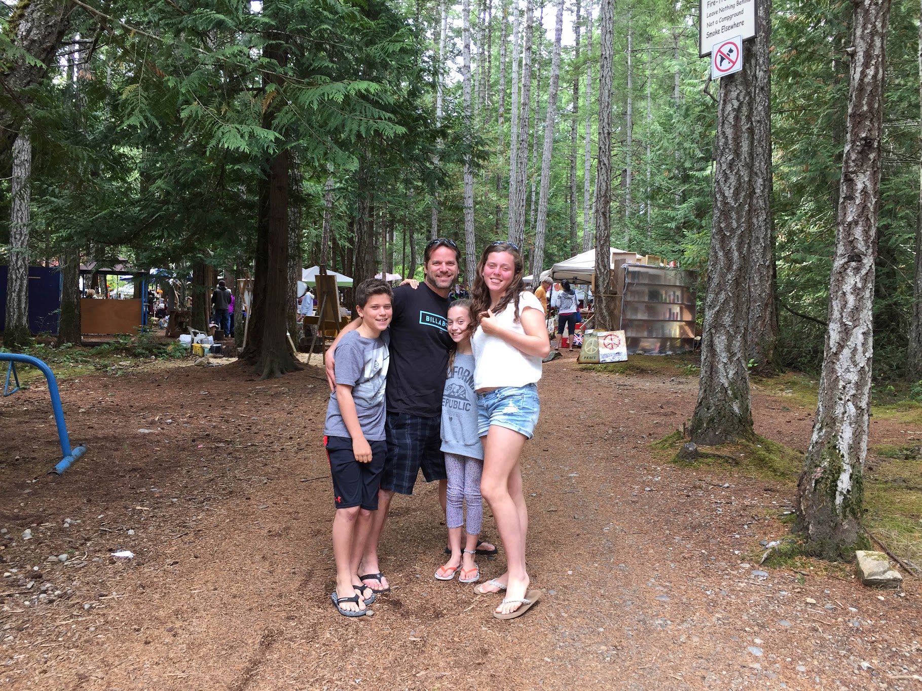
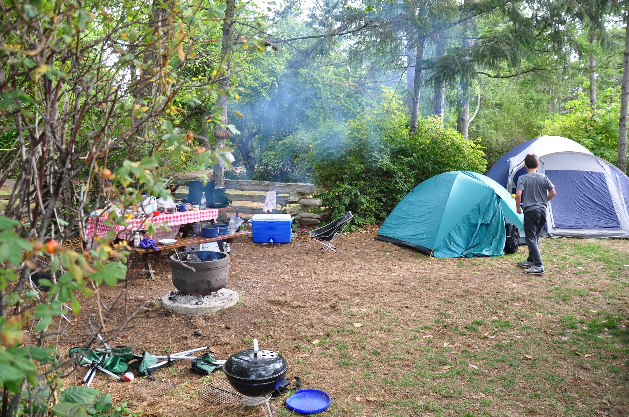
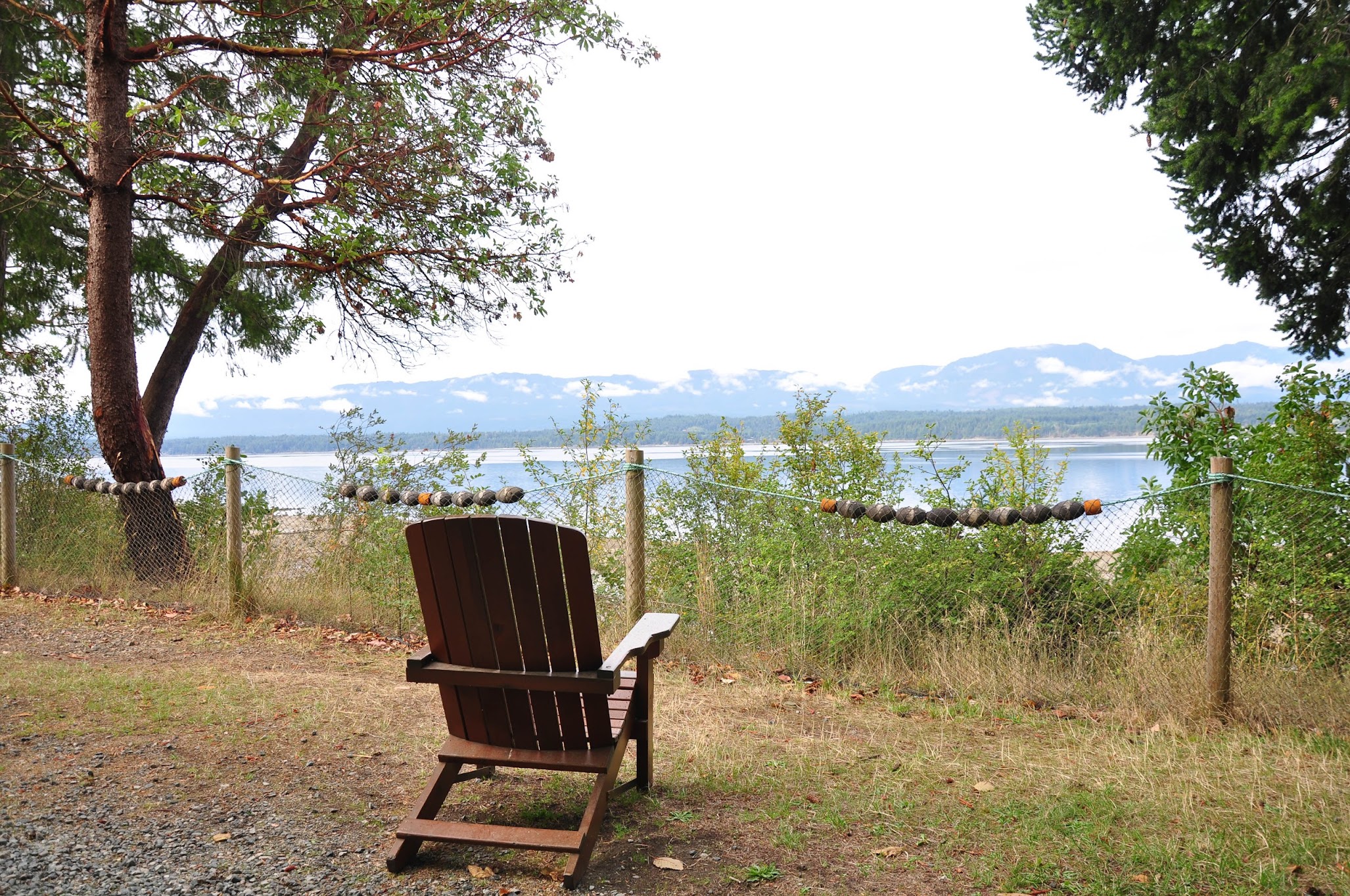
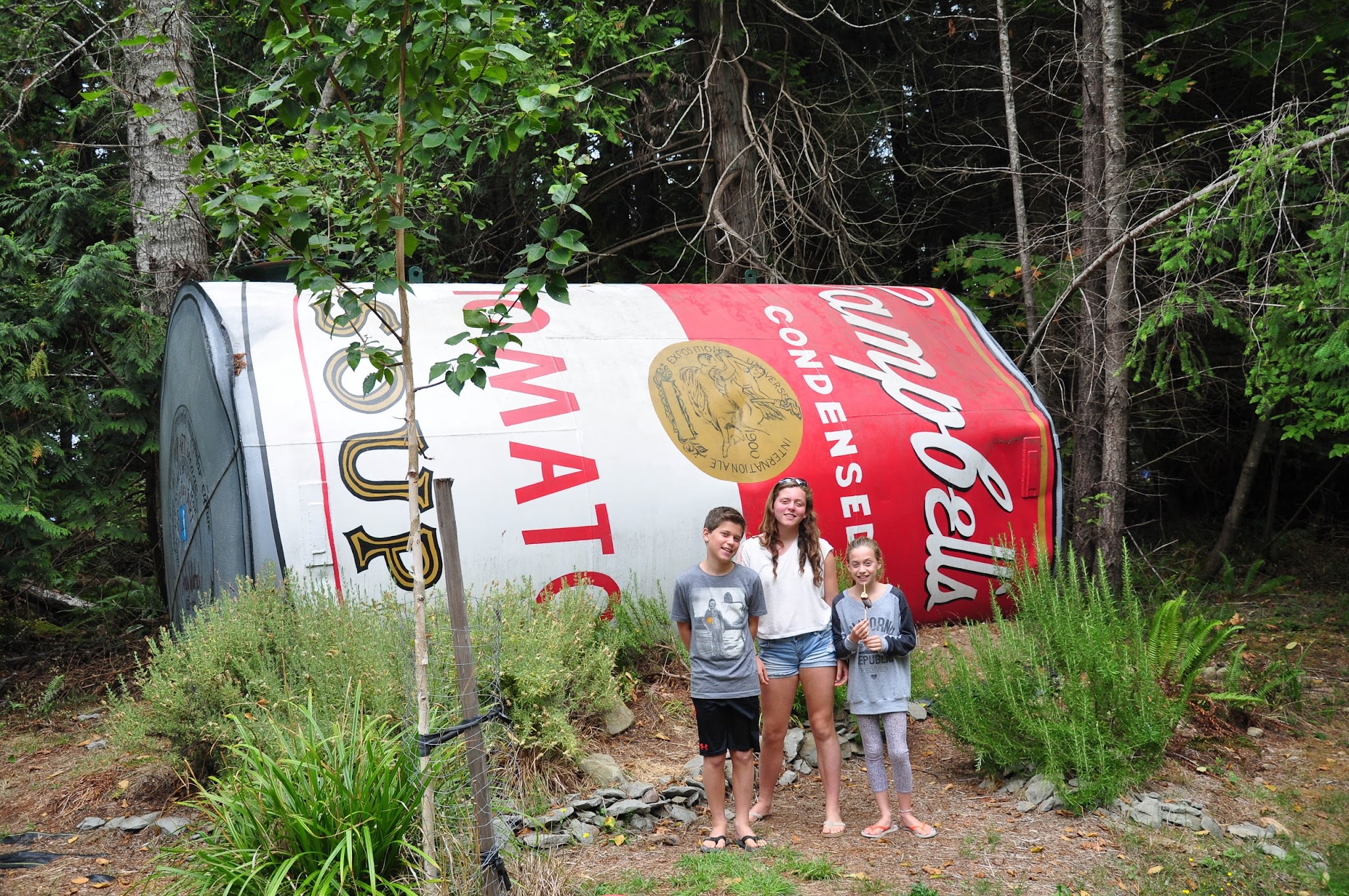
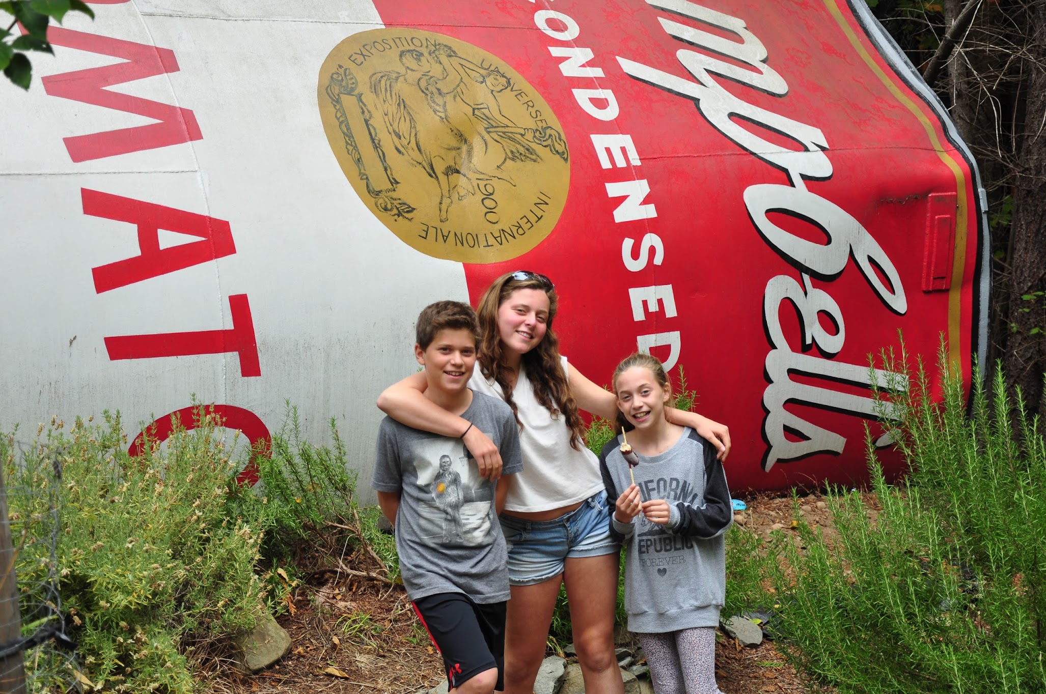
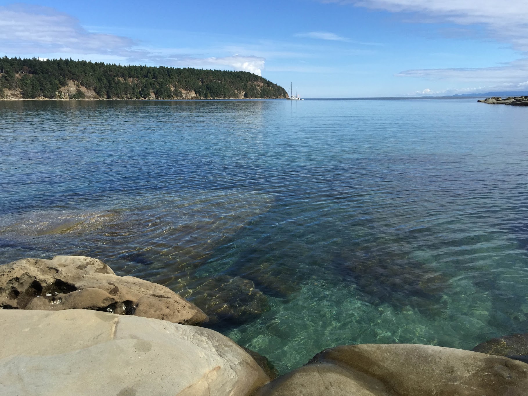
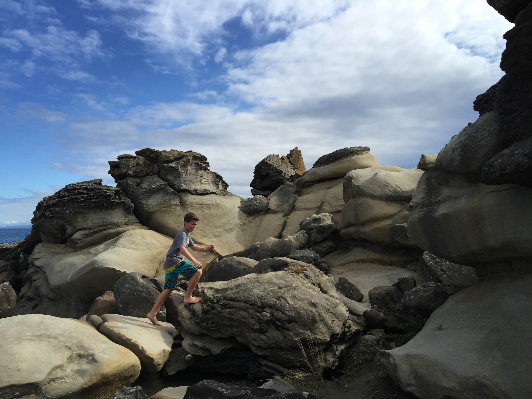
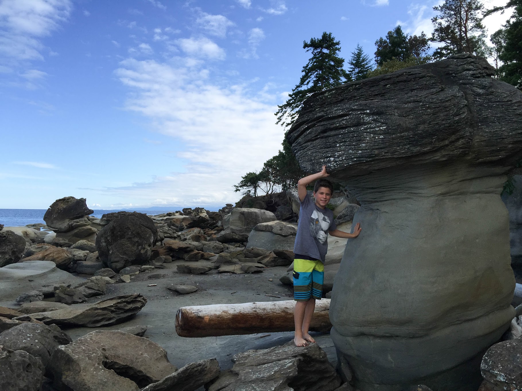
Hornby Island
Camping on Hornby Island last summer.
Local artists were commissioned to paint the volunteer fire department's water tanks in a dozen different locations around the island.
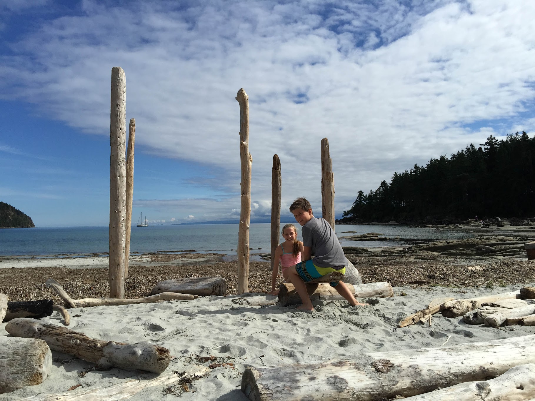
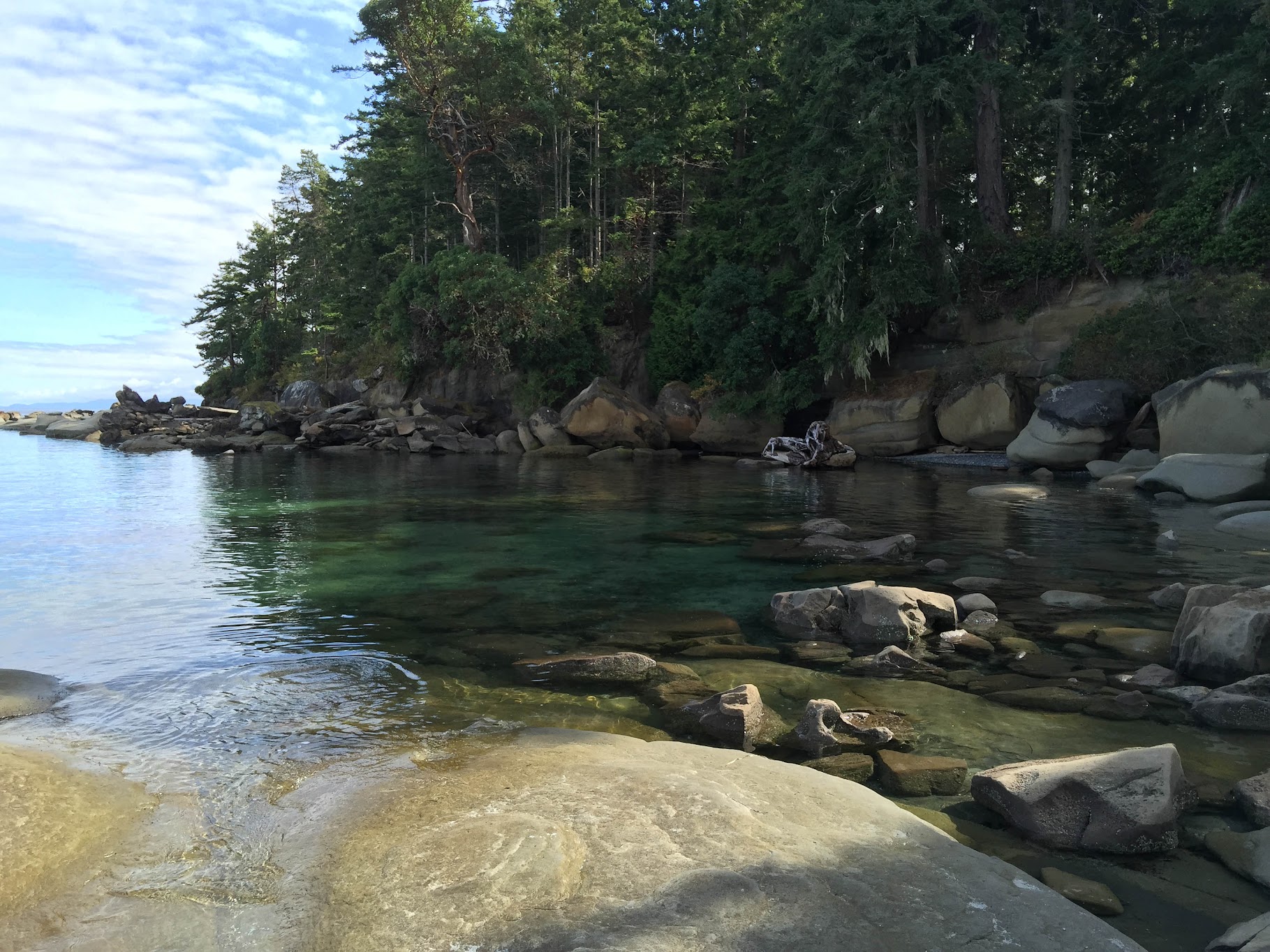
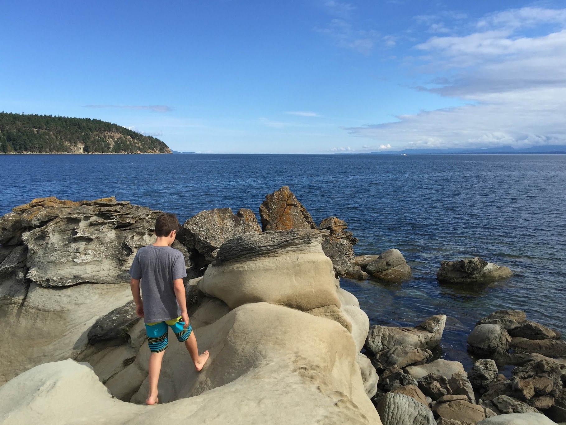
Tribune Bay Provincial Park
Here, shallow waters meet near tropical temperatures during the summer and the bay is considered to be one of the warmest salt water swimming areas in BC.
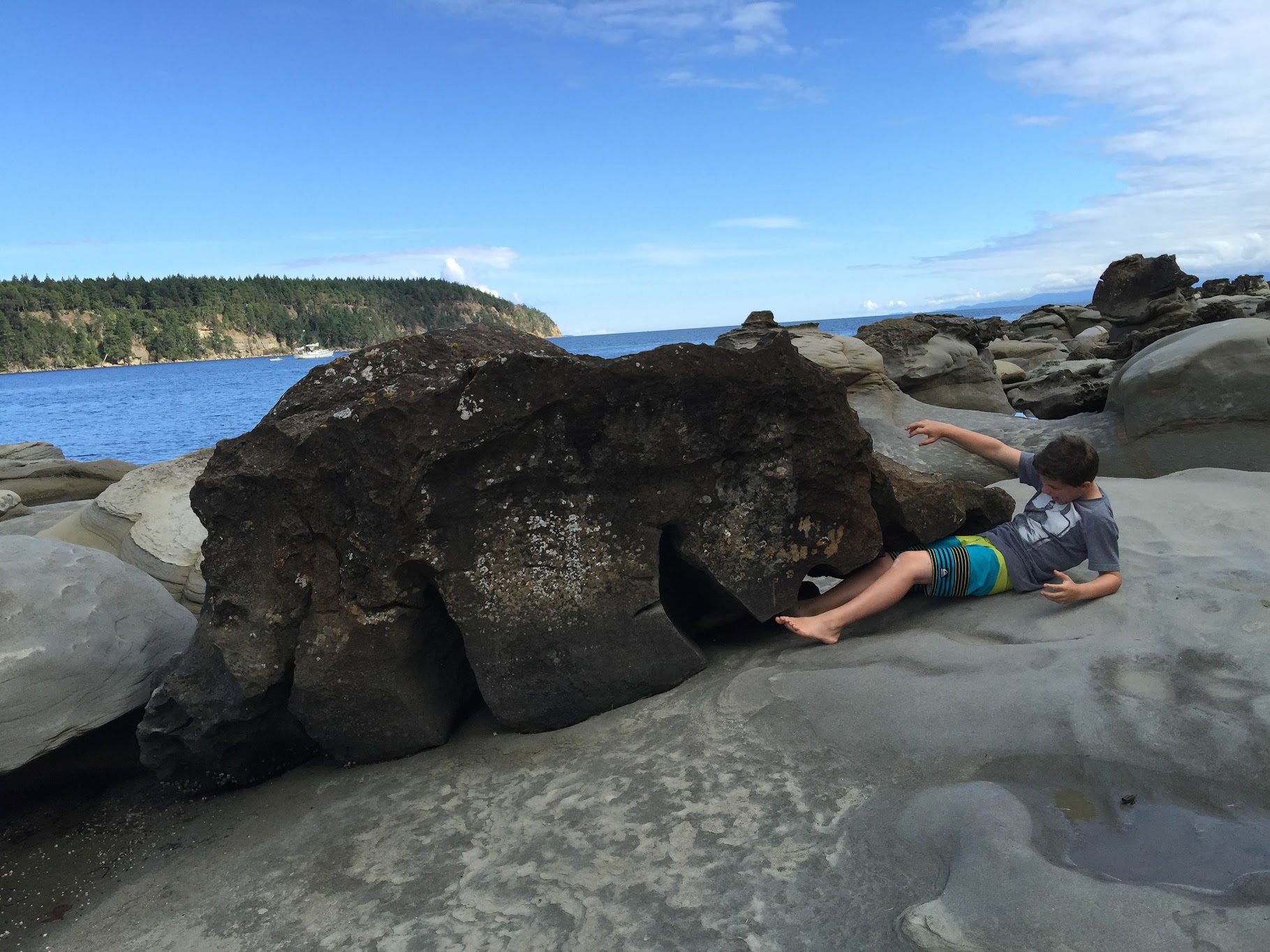
Gabriel pretending to be eaten by a bear-shaped rock.
Saturday, February 27, 2016


Tuesday, December 8, 2015
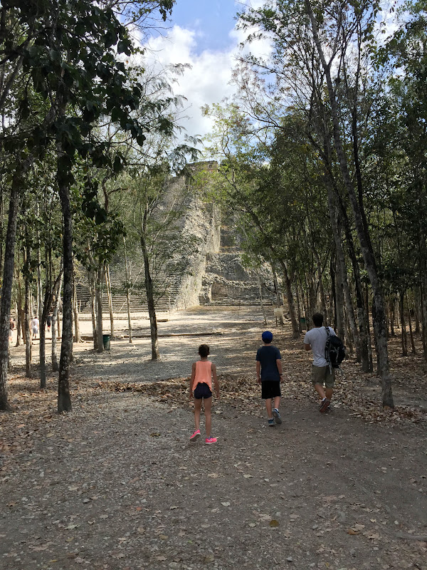
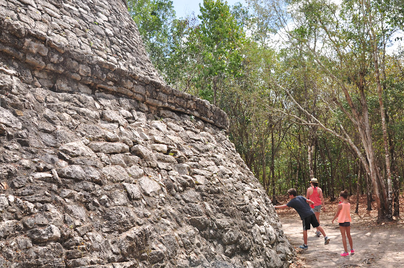
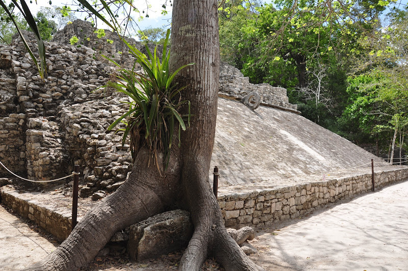
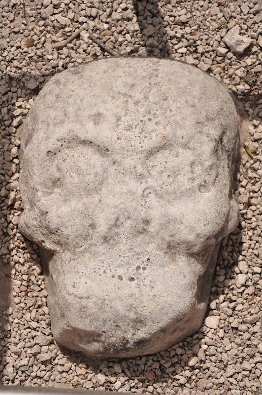
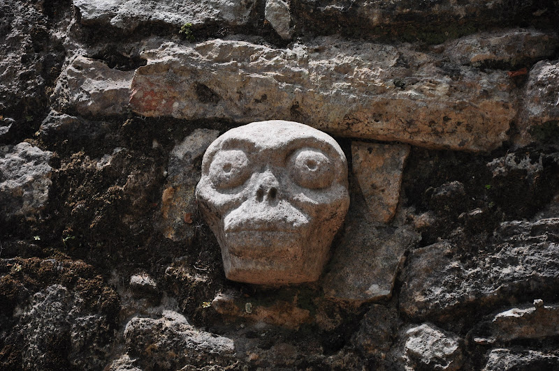
Cobá
Archaeologists believe Cobá was one of the most important ruin sites on the Yucatán Peninsula. The design and purpose of this settlement was very different from other Mayan cities, with various settlements existing in one area. The white roads lead from each settlement to the main pyramid, Nohoch Mul.
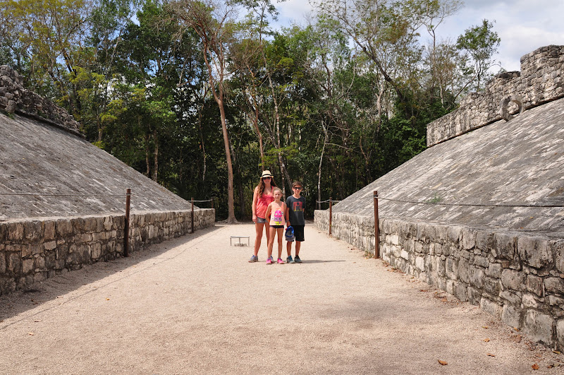
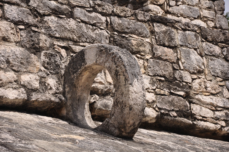
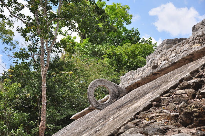
Cobá means ‘waters stirred by the wind’, an appropriate Mayan name as this settlement is surrounded by two large lagoons. For many years Cobá was an ignored piece of Mayan history due to its location. Located between Tulum in the state of Quintana Roo, and Valladolid in the state of Yucatán, archeologists first learned about the site in the mid 1800’s, but dense jungle, the Caste War and lack of funds made this site a difficult area to penetrate. This Mayan site is still largely unexcavated making it a true wonder in the Yucatán. Visitors can enjoy shaded walkways that are the original sacbe (white roads), three settlements that show the architecture and vast area of this once large city, 2 ball courts and climb the highest Mayan pyramid in the Yucatán, Nohoch Mul.
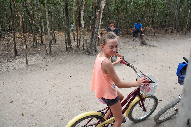
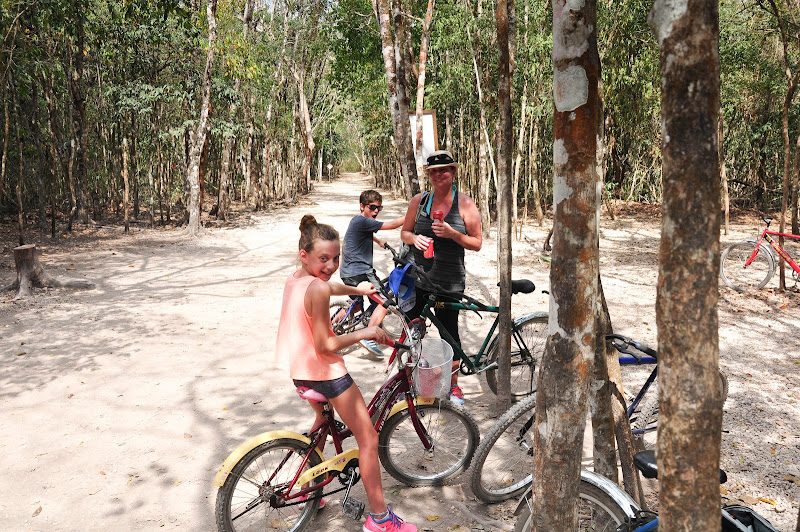
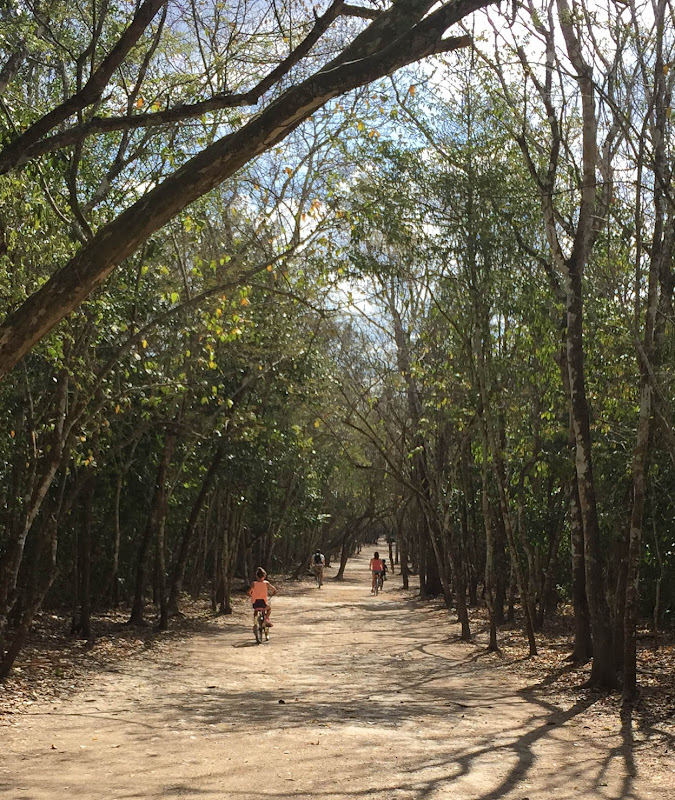
Renting bikes to tour the vast Cobá site
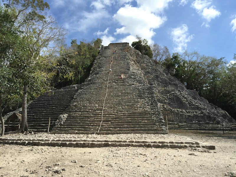
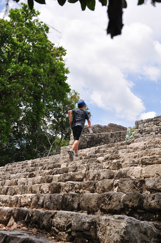
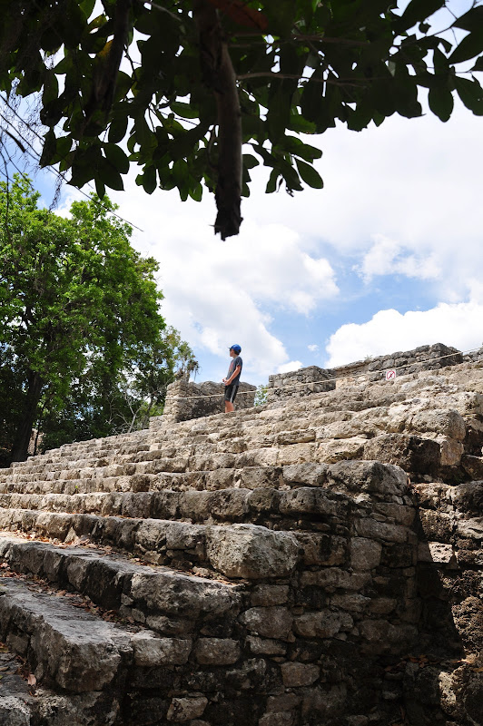
Arriving at Nohoch Mul Pyramid - A 42 meters tall (137 feet) pyramid that boasts a remarkable view of the Yucatán and non-public areas of Cobá including both lagoons; Macanxoc Lagoon to the east and Cobá Lagoon to the southwest.
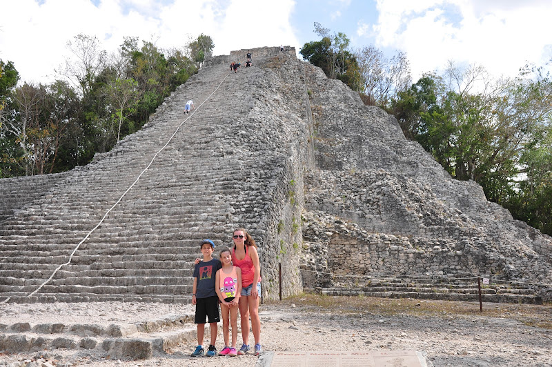
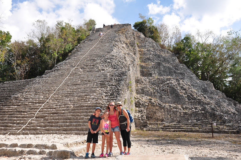
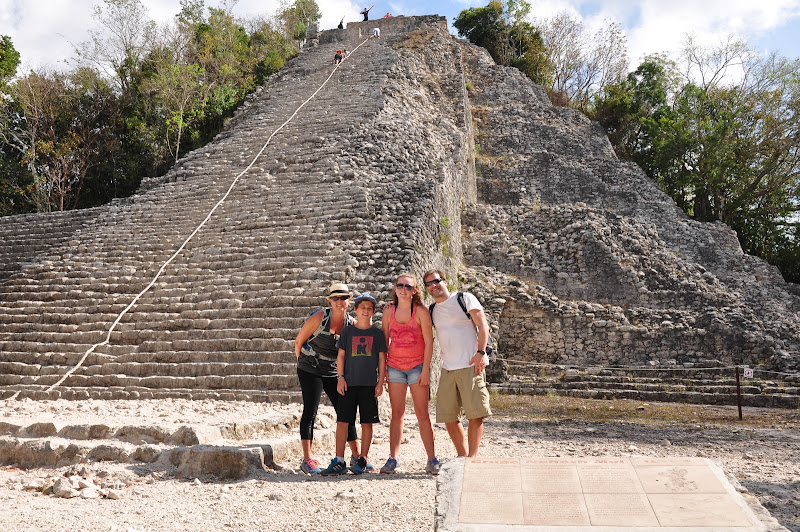
Unlike Chichen Itza's Kukulkan Pyramid, Nohoch Mul is still open for the public to climb its 130 steps up to the top of the site. 120 steps lead up to the top of the Nohoch Mul pyramid, and reaches 137 feet in height. This is the tallest temple pyramid on the Yucatan Peninsula. Chichen Itza has 91 steps leading up to the top of the Kulkulkan Pyramid.
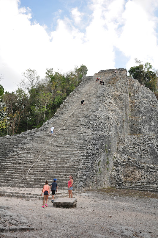
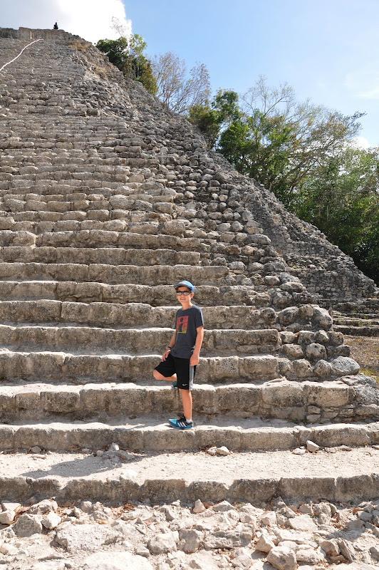
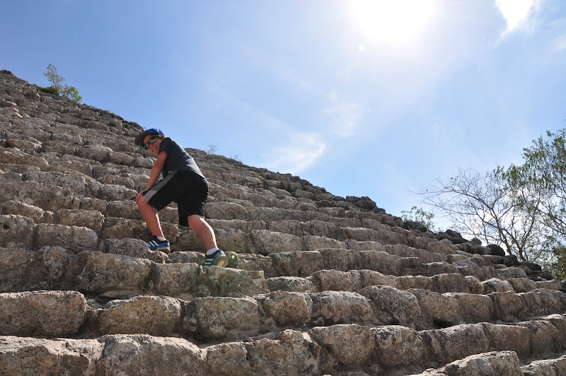
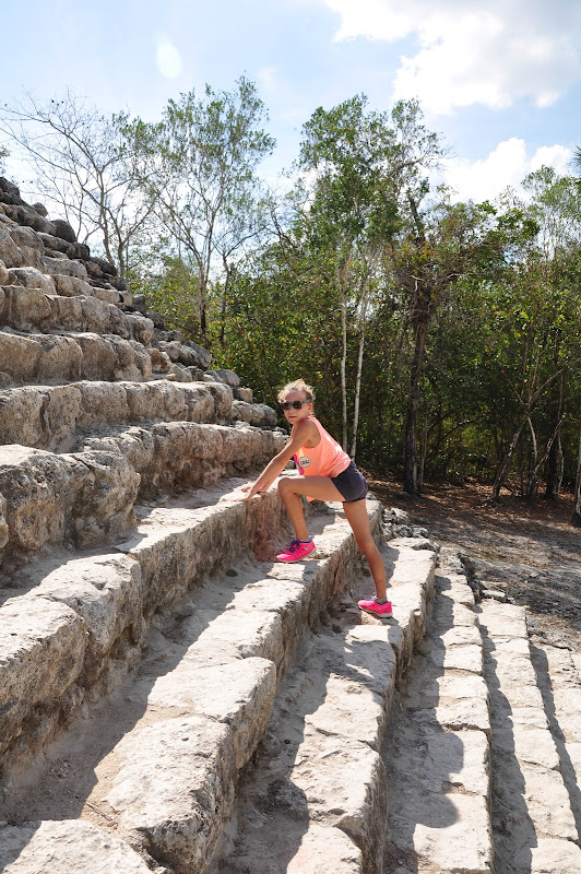
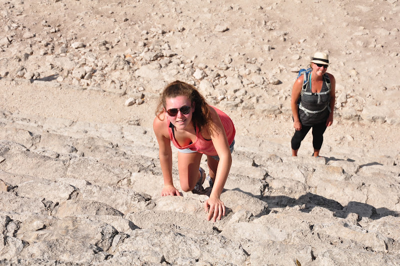
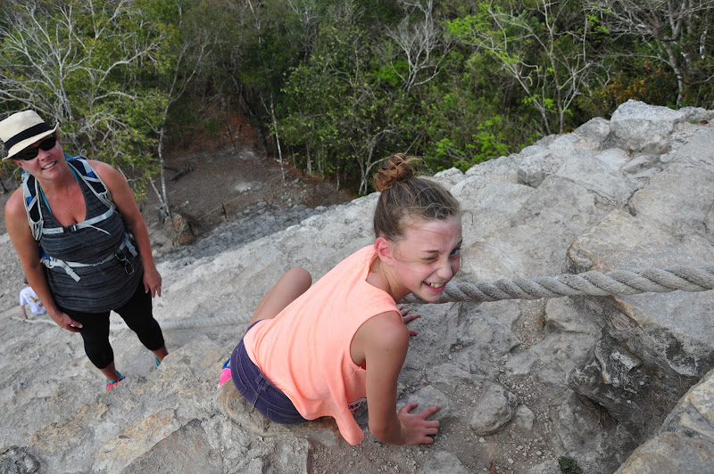
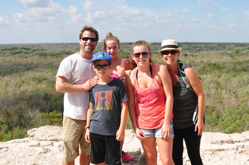
Taking a break during the climb

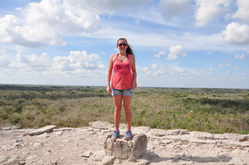
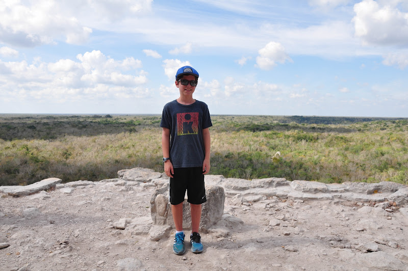
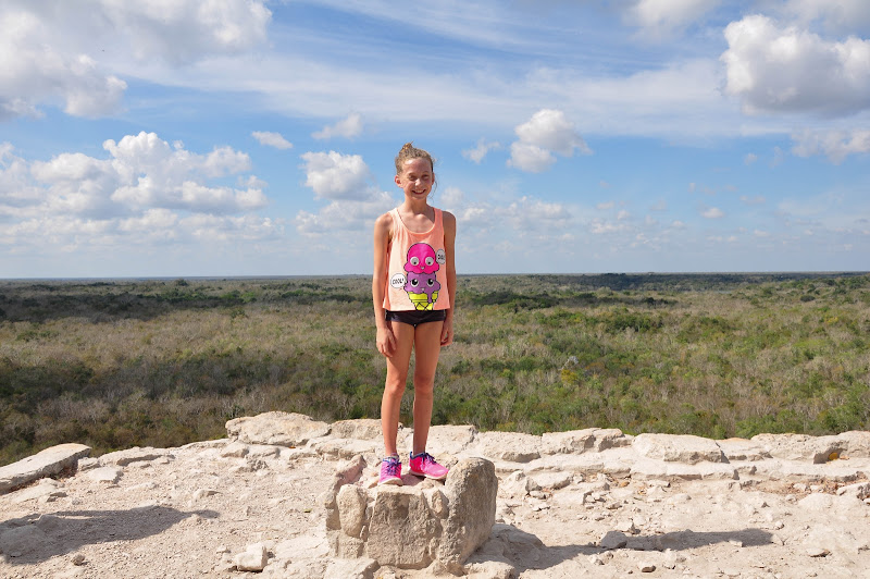
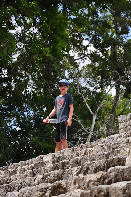
At the top
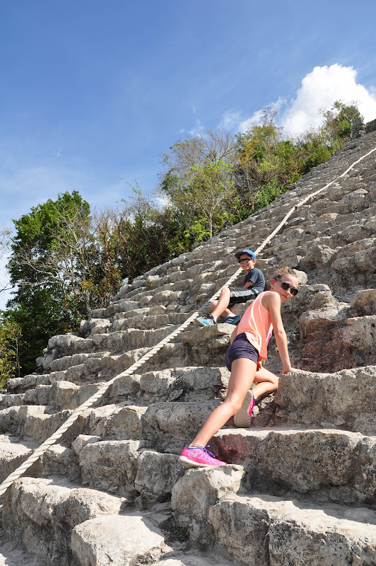
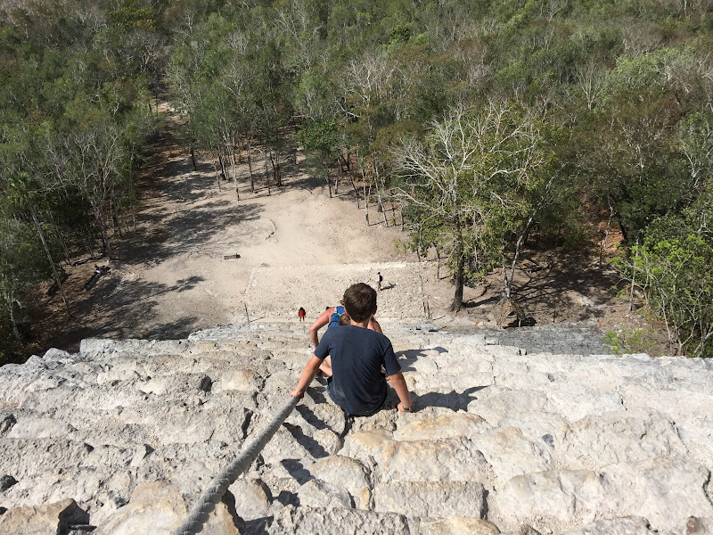
Heading back down
When Cobá was a functioning centre more than 1,000 years ago, it is estimated that 50,000 people lived here in an area of 80 square kilometres. Only a fraction of the structures that existed then have been cleared of the dense jungle cover (for example, the back half of the Nohoch Mul pyramid is still covered in jungle).
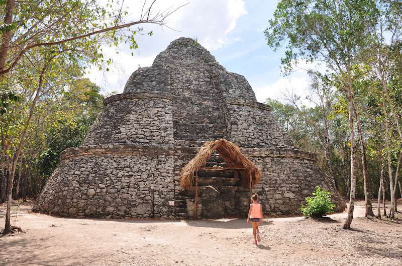
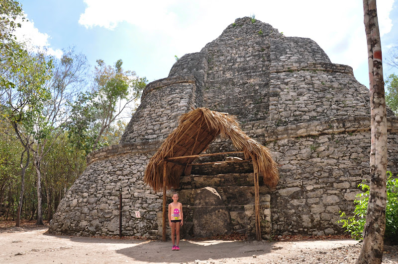
Touring other Mayan ruins at Cobá
Videos:
Thursday, December 3, 2015
Cenote
A cenote is a natural pit, or sinkhole, resulting from the collapse of limestone bedrock that exposes groundwater underneath. Especially associated with the Yucatán Peninsula of Mexico, cenotes were sometimes used by the ancient Maya for sacrificial offerings.
The term derives from a word used by the low-land Yucatec Maya — ts'onot — to refer to any location with accessible groundwater.
Stairs leading underground to a cenote

Cenote Tankach-Ha


Cenote Cho-Ha


Videos:
Wednesday, December 2, 2015
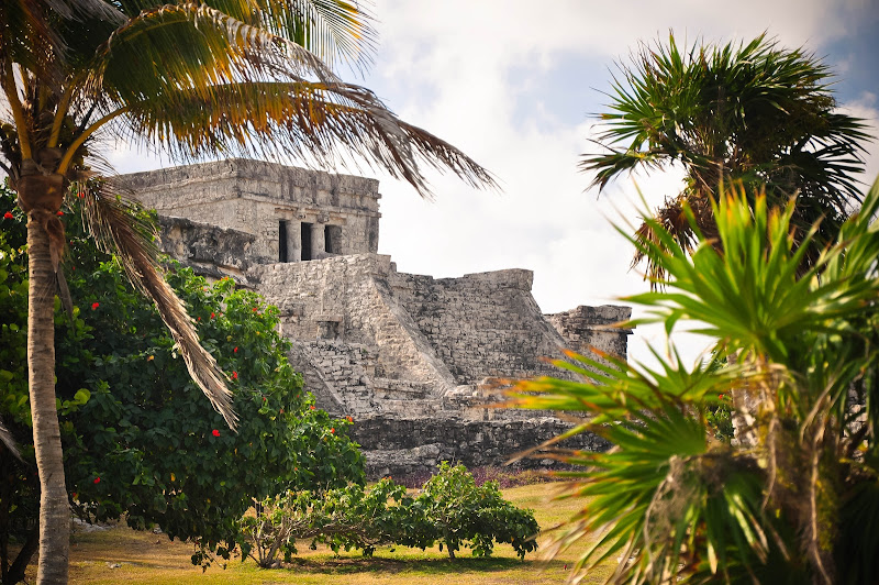
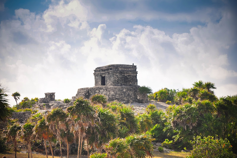
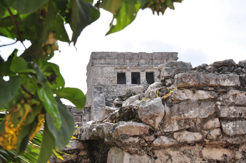
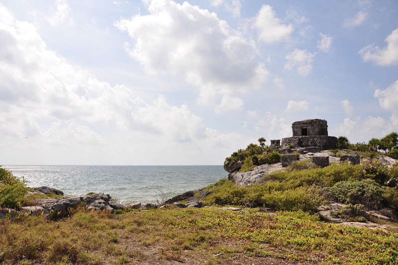
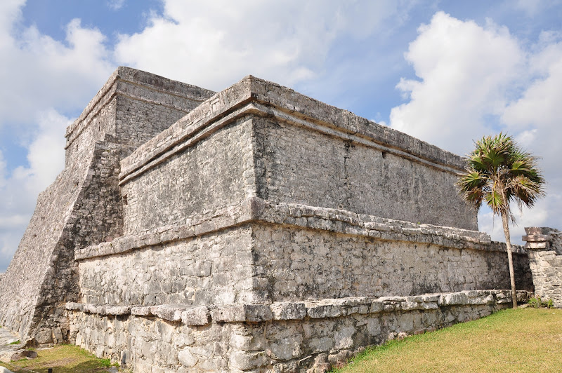
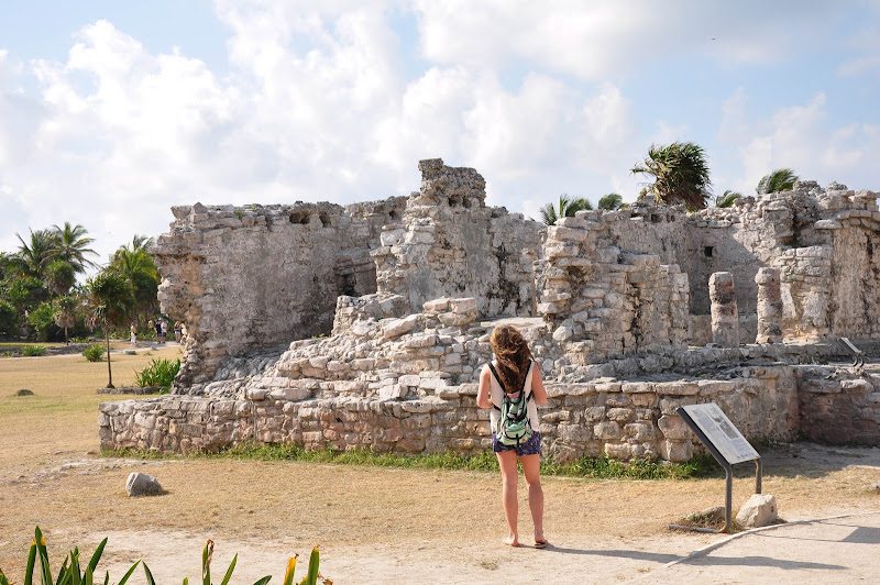
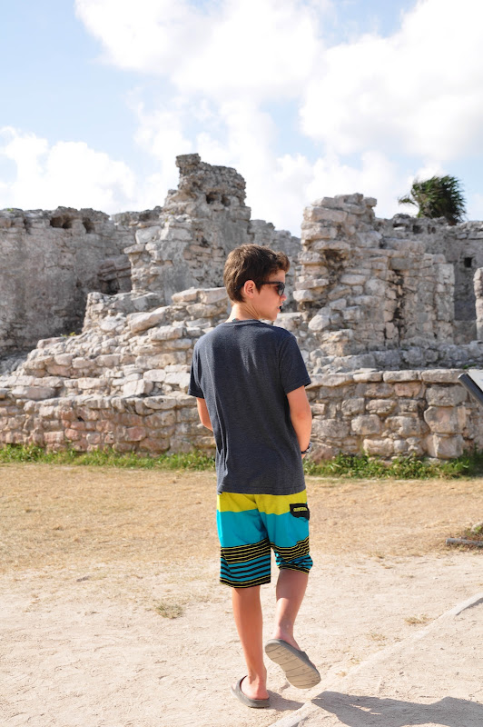
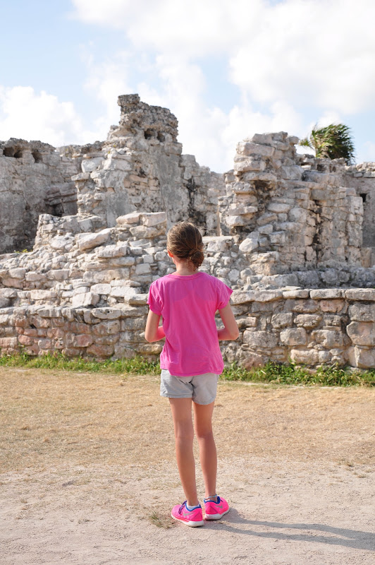
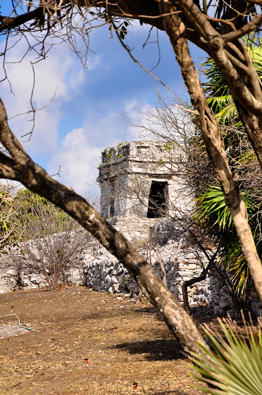
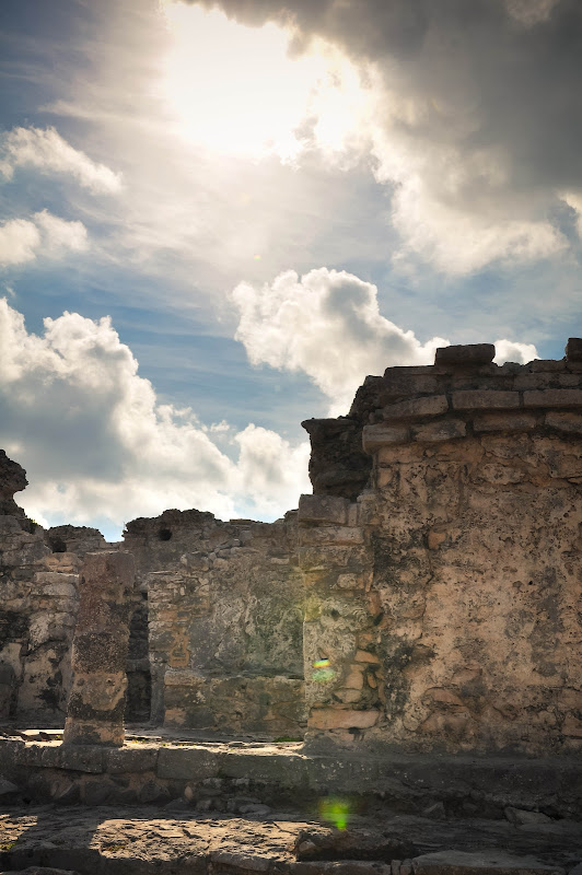
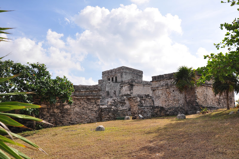
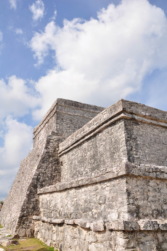
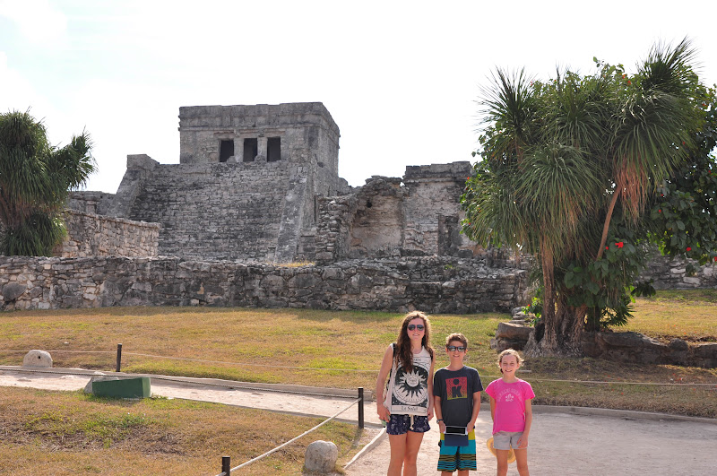
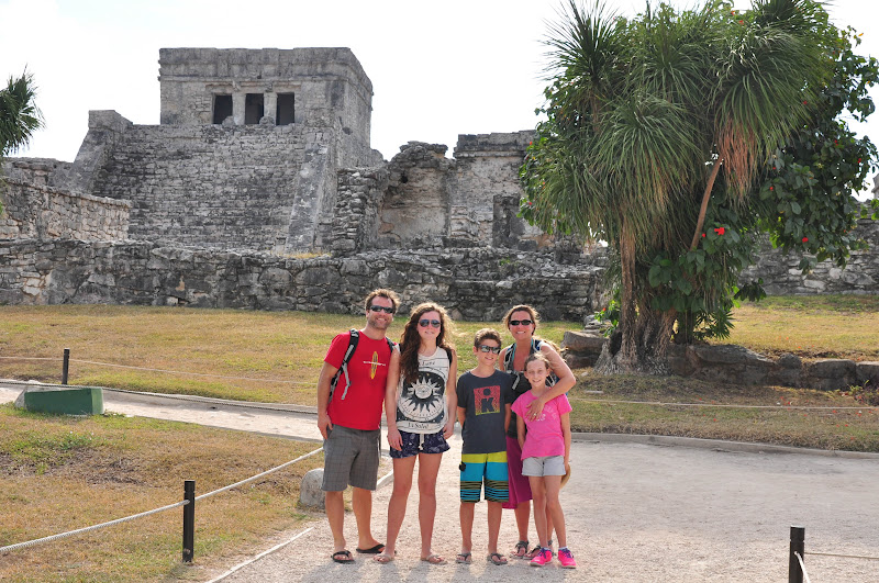
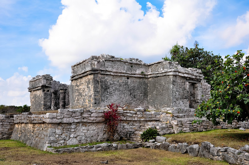
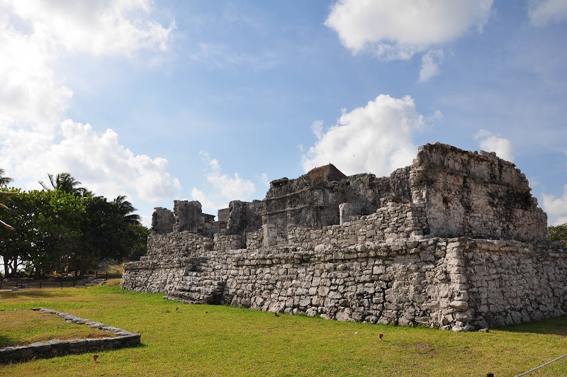
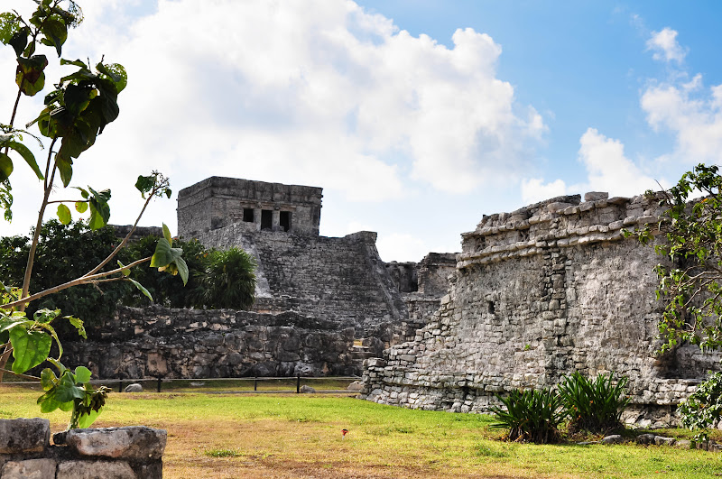
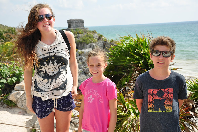
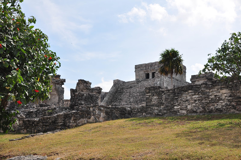
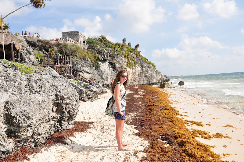
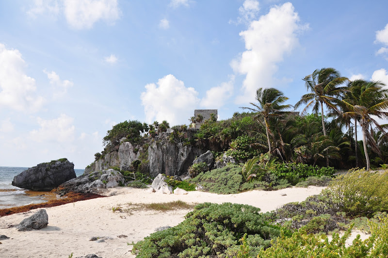
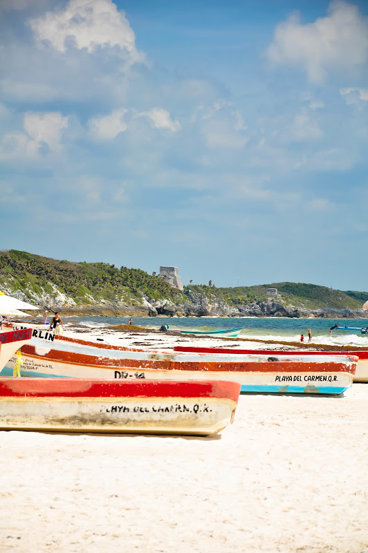
Tulum
Tulum is the site of a Pre-Columbian Maya walled city serving as a major port for Cobá. The ruins are situated on 12-meter (39 ft) tall cliffs, along the east coast of the Yucatán Peninsula on the Caribbean Sea in the state of Quintana Roo, Mexico. Tulum was one of the last cities built and inhabited by the Maya; it was at its height between the 13th and 15th centuries and managed to survive about 70 years after the Spanish began occupying Mexico. Old World diseases brought by the Spanish settlers appear to have resulted in very high fatalities, disrupting the society and eventually causing the city to be abandoned.
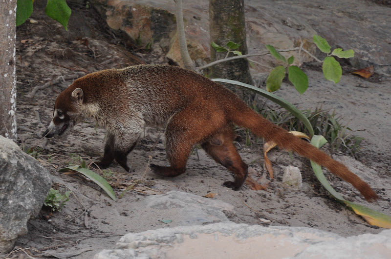
A coati (a member of the raccoon family) roaming the grounds of the temple.

View of the ruins from the beach.
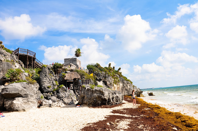

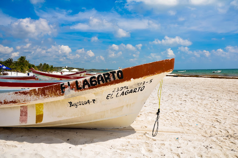
Boats on the beach next to the ruins.
Subscribe to:
Posts (Atom)